Search
Historical geography
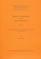
Die Orts- und Gewässernamen der neuassyrischen Zeit
Teil 3
Historical geography is one of the most important disciplines which allow a reconstruction of the history of the Ancient Near East. There are principally the cuneiform sources...
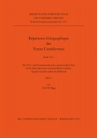
Die Orts- und Gewässernamen der neuassyrischen Zeit
Teil 2. Zentralassyrien und benachbarte Gebiete, Ägypten und die arabische Halbinsel
Historical geography is one of the most important disciplines which allow a reconstruction of the history of the Ancient Near East. There are principally the cuneiform sources...
KartenWissen
Territoriale Räume zwischen Bild und Diagramm
This collection of essays covers all periods of cartography’s history from antiquity to the present time, all kinds of maps from star maps and sea charts to land maps and street...
Zwischen Euphrat und Rhein
Ergebnisse des Graduierten-Kollegs »Archäologische Analytik« an der Johann Wolfgang von Goethe-Universität Frankfurt am Main
No english description available. Showing german description:
Aus dem Inhalt:
A. Fülling/A. Fengler: Böden und Kolluvien als landschaftsgeschichtliche Archive in der...
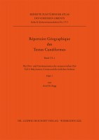
Die Orts- und Gewässernamen der neuassyrischen Zeit
Teil 1: Die Levante
The present work is the last contribution to the edition „Répertoire Géographique des Textes Cunéiformes“ (RGTC). Thirteen volumes have been already published in this series and...
Paket Timm TAVO B 41/1-7
No english description available. Showing german description:
Diese Sammlung führt in sechs Bänden und einem Indexband die wichtigsten ägyptischen Orte auf, an denen es nach...
Editor: Siebert, Irmgard; Plassmann, Max
Cristoforo Buondelmonti. Liber insularum (ULBD Ms. G 13) · Faksimile · Transkription des Düsseldorfers Exemplars, Übersetzung und Kommentar
Beide Bände im Paket
No english description available. Showing german description:
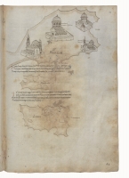
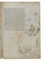
Der Florentiner Cristoforo Buondelmonti besuchte Anfang des 15. Jahrhunderts auf mehreren Reisen die ägäische...
Cristoforo Buondelmonti. Liber insularum (ULBD Ms. G 13)
Transkription des Düsseldorfer Exemplars, Übersetzung und Kommentar
This volume contains a transliteration of "Liber insularum Archipelagi", the Düsseldorfer Manuscript Ms. G 13, that was already published as facsimile in 2005. The book also...
Stadtspuren
Zeugnisse zur Siedlungsgeschichte der Chalkidiki
No english description available. Showing german description:
Vor dem Hintergrund der zeit- und forschungsgeschichtlichen Sonderstellung der Region Chalkidikis wird die...
Répertoire Géographiques des Textes Cunéiformes
Die Orts- und Gewässernamen der Texte aus Syrien im 2. Jahrtausend v. Chr.
No english description available. Showing german description:
Das Répertoire Géographique ist längst zu einem unentbehrlichen Handbuch in der Altorientalistik geworden. Mit...
Die Nebenüberlieferung des 6. Buchs der Geographie des Ptolemaios
Griechische, lateinische, armenische und arabische Texte
The side-tradition (Nebenüberlieferung) of the geographical work of the Alexandrian mathematician and astronomer Claudios Ptolemy has yet not been explored systematically....
Ptolemy, Geography Book 6
Middle East, Central and North Asia, China. Part 1. Text and English/German Translations
Book 6 of Ptolemy’s „Geography“ (2nd cent. AD) deals with Assyria, Media, Susiana, Persis, Parthia, the Carmanian Desert, Arabia Felix, Carmania, Hyrcania, Margiana, Bactriana,...
Tübinger Atlas des Vorderen Orients
Register zu den Karten / General Index
No english description available. Showing german description:
Europa auf dem Weg nach Asien - mit dieser Umkehrung eines bekannten Slogans kann man die heutige Situation...
Die Kernländer des ’Abbasidenreiches im 10. und 11. Jahrhundert
Materialien zur TAVO-Karte B VII 6
No english description available. Showing german description:
Europa auf dem Weg nach Asien - mit dieser Umkehrung eines bekannten Slogans kann man die heutige Situation...
Anatolien in der Frühen und Mittleren Bronzezeit
I. Bibliographie zur Frühbronzezeit
No english description available. Showing german description:
Europa auf dem Weg nach Asien - mit dieser Umkehrung eines bekannten Slogans kann man die heutige Situation...
Die Diadochenzeit im Spiegel der historischen Geographie
Kommentar zu TAVO-Karte B V 2 »Diadochenreich (um 303 v. Chr.)«
No english description available. Showing german description:
Schauplatz der Geschichte der Diadochenzeit ist der Raum von der Adria bis zum Indus, von Ägypten bis zum...






 Neuerscheinungen 2023/2024
 Gesamtverzeichnis 2023/2024
 Katalog Oriental Studies & Linguistics
 Mittelalter
 Deutsche Inschriften
 Musiktherapie
 Literaturen im Kontext